Looking back toward Kotor from the western shore

Kotor

Bay Walk — Muo to Prčanj Coastal Route

The route at a glance

  1. 1 Kotor waterfront — heading west start — from the cruise quay or old town Sea Gate
  2. 2 Muo waterfront 25 min walk or short bus ride from Kotor
  3. 3 Shore path — Muo to Donji Stoliv 15 min walk west from Muo
  4. 4 Approaching Prčanj — the church comes into view 20 min walk west from Donji Stoliv
  5. 5 Prčanj waterfront and church 5 min walk into the village
  6. 6 Captain's quarter — waterfront villas Along the promenade
  7. 7 Prčanj pier — return options End of the promenade
  8. 8 Return — water taxi or bus to Kotor Departure from Prčanj pier or bus stop

The view you walk toward

Most of what people photograph in Kotor was photographed from somewhere else — from a boat crossing the bay, from a drone over the walls, from the fortress above the old town. One view, specifically, appears everywhere: the walled city seen from the western shore, the fortifications climbing the cliff face, the mountain behind, the deep blue bay in the foreground. That photograph was taken from somewhere near Muo or Prčanj. This walk takes you there.

The Bay of Kotor's inner arm runs roughly east-west, with the old town at its eastern end and the coastal villages of Muo, Donji Stoliv, and Prčanj strung along the southern shore heading west. The distance from Kotor's cruise quay to Prčanj is about 5 kilometres by road; the walk takes around 75 minutes at a normal pace, mostly flat, mostly along or near the waterfront.

What the route gives you is a perspective on Kotor that is physically impossible to get from inside it. The old town, seen from inside the walls, is a warren of stone streets and enclosed squares. Seen from the opposite shore — from Muo's waterfront, from the road between Donji Stoliv and Prčanj, from the pier at Prčanj itself — it is a complete picture: compact white city, climbing walls, fortress, bare mountain. The scale of the fortification system becomes legible from here in a way it never does from the Sea Gate plaza.

Prčanj adds its own argument for the walk. The village was one of the Bay of Kotor's major seafaring communities from the 17th century onward, running dozens of tall-ships across the Mediterranean from a village of a few hundred people. The Church of the Nativity of the Blessed Virgin Mary — begun in 1789, completed in 1909, designed by a Venetian architect and stuffed with paintings by Tiepolo and Piazzetta — is the material record of that period, and it is large enough and good enough to justify the walk on its own terms.

The best time is late afternoon. When the sun drops behind the Lovćen mountains, it lights the old town walls from the west at a shallow angle; on a calm evening the reflection in the water completes the picture. In any season, on any weather that isn't pouring rain, this is one of the more rewarding walks in the bay.

start — from the cruise quay or old town Sea Gate

Kotor waterfront — heading west

The walk begins at the waterfront west of the cruise quay. The Kotor pier faces the old town Sea Gate directly; turn away from the gate and walk along the water heading west, away from the old town walls and toward the open bay.

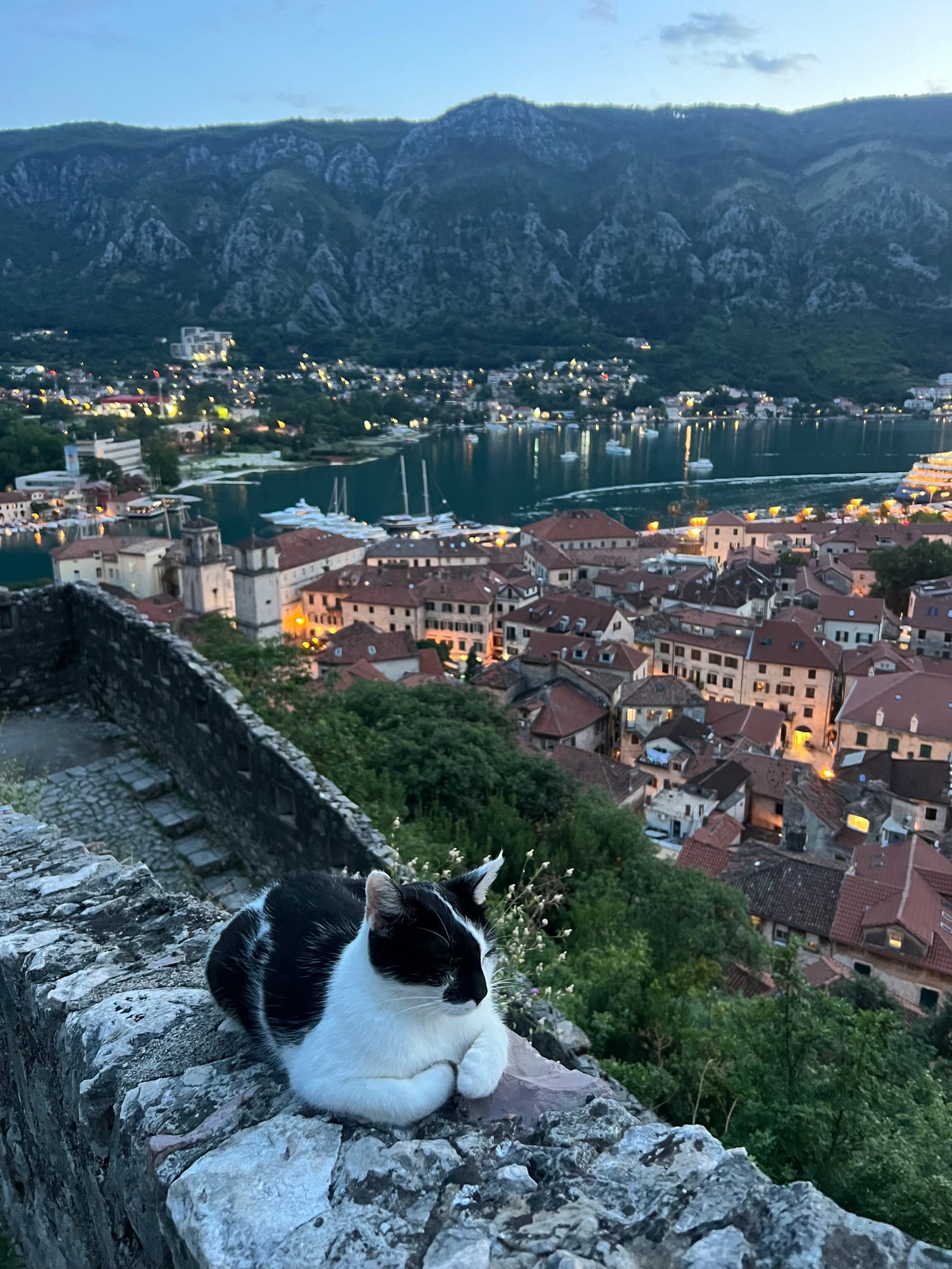
This section of the waterfront gives the first hint of what the next two hours will deliver: the bay as a presence rather than a backdrop, the mountains on both sides pressing in, the water a deep greenish-blue in the narrows. Within a few minutes the old town walls appear in full profile behind you — already a better view than you had from inside.

The coastal road to Muo runs along the shore. There is a pavement for most of the way, and in places the road passes close to the water's edge. The traffic is light outside of high season; in summer mornings it is busier.

25 min walk or short bus ride from Kotor

Muo waterfront

Muo is a small village of around 600 residents strung along the southern shore of the bay's inner arm. The approach from the east gives the first full panoramic view of the arrangement you've heard described: the old town of Kotor directly across the water, its walls ascending the cliff face, the fortress visible at the summit of the mountain. The crossing of the bay here is only a few hundred metres, but the visual effect — seeing the entire fortification system from outside it for the first time — is difficult to prepare for.

The Muo waterfront is quiet by Adriatic standards. A small promenade runs along the shore; fishing boats are usually moored at the pier end. There is no major tourist infrastructure here, which is partly the point.

The blue-line bus from Kotor stops on the coastal road just above the waterfront. If you took the bus, this is where to step off and walk down to the water's edge before continuing along the shore path.

The old town across the water from Muo

15 min walk west from Muo

Shore path — Muo to Donji Stoliv

West of Muo the coastal road narrows and the traffic drops. The path follows the shore closely, with the bay to your right and low stone walls and gardens to your left. The vegetation is Mediterranean: olive, fig, and rosemary growing right to the water's edge in places. Small stone jetties extend into the bay at irregular intervals.

The mountains behind reflect in the bay on calm mornings. The outer bay opens progressively as you walk — by the time you reach Donji Stoliv the Verige strait is visible in the distance, barely 340 metres across at its narrowest, the dark opening where the bay bends again before reaching the outer arm and eventually the Adriatic.

Donji Stoliv itself is even smaller than Muo: a handful of stone houses, a church, terraced gardens running up the hillside behind. Stop briefly if the waterfront is clear — this is one of the least visited points on the coastal walk.

20 min walk west from Donji Stoliv

Approaching Prčanj — the church comes into view

You see the church before you reach Prčanj. The Church of the Nativity of the Blessed Virgin Mary is visible from a considerable distance along the coastal road: an enormous Baroque façade perched above the waterfront, completely disproportionate to the village around it. This is the intended effect, and it has not diminished.

The church was begun in 1789 and not completed until 1909 — 120 years of construction spanning the late Venetian period, the Napoleonic occupation, and the long Austrian administration that followed. Its architect was the Venetian Bernardino Maccaruzzi, and the scale was a deliberate statement by the Prčanj community of sea captains about their wealth and standing. By the 18th century the village ran more than thirty tall-ships across the Mediterranean, trading Montenegrin cheese, sardines, candles, and olive oil to ports in Italy, Greece, and the Levant.

Prčanj is 5 kilometres west of Kotor. The views back from this section of road — across the bay to the old town — are the best of the entire walk.

5 min walk into the village

Prčanj waterfront and church

The waterfront at Prčanj is the calm centre of the walk. Stone houses with unified façades line the shore — 17th- and 18th-century prosperity made permanent in limestone, the gardens and olive orchards between them still reasonably intact. The church presides over everything from its elevated position above the promenade.

Enter the church if it is open. The interior contains works by Giovanni Battista Piazzetta and Giovanni Battista Tiepolo — significant paintings by significant artists, in a building in a village most European tourists will never have heard of. The Merito navali flag of honour awarded by Austrian Emperor Franz Joseph I to Ivan Visin — Prčanj's most famous sea captain and the first person from the Yugoslav lands to circumnavigate the globe — is also displayed here.

The building is active; services are held regularly. Dress appropriately if entering during a service.

Prčanj waterfront, looking east

Along the promenade

Captain's quarter — waterfront villas

Walk the promenade beyond the church toward the western end of the village. The stone villas here — set slightly back from the waterfront behind gardens and low walls — represent the material output of the sea captain community at its peak. Several have been well maintained; others show the familiar Adriatic pattern of partial renovation and long vacancy.

Prčanj was formally recognised as a naval town by decree in 1625, when Venetian authorities exempted its sailors from manual labour obligations and established a dedicated postal route to Istanbul via Venice — an acknowledgement of the village's strategic importance to the republic's communication network. The Napoleonic Wars devastated the trade routes and the commerce that sustained this architecture; most of these houses were built during the century before that collapse.

At the western end of the promenade, a small jetty extends into the bay. This is the departure point for water taxis to Kotor in season.

End of the promenade

Prčanj pier — return options

The pier at the western edge of Prčanj is your endpoint. From here, the old town of Kotor is visible directly across the bay — a compact silhouette of walls and towers against the mountain, roughly 5 kilometres away by water. The crossing by water taxi takes a few minutes; the same journey by coastal road takes thirty.

Assess your options: the water taxi is the most satisfying return, combining the shore walk west with a bay crossing east. The bus is reliable and runs from the main coastal road above the village. If you walked here in under ninety minutes and still have energy, the walk back retraces the same views in reverse light — different enough, particularly in the late afternoon, to be worth it.

Either way, give yourself time at the pier before you leave. The view from here — the old town in one direction, the outer bay in the other, the mountains behind you — is one of the best in the Bay of Kotor.

Departure from Prčanj pier or bus stop

Return — water taxi or bus to Kotor

In season, the water taxi from Prčanj to Kotor runs on demand or at set intervals — ask at the pier for the current arrangement. The crossing takes roughly five to ten minutes and drops you at the old town waterfront, near the Sea Gate. For the price of a taxi ticket you save the hour-long road return and see the coast from the water, which inverts the perspective entirely: the shore you just walked becomes a backdrop, the old town resolves from a distant silhouette into an arrival.

The bus from the coastal road above Prčanj runs back toward Kotor on the same blue-line service. Check the posted schedule at the stop; services can be infrequent outside of high season.

If you are walking back, the total return is a further 4.5 kilometres on the same road — about 75 minutes at a steady pace. Late afternoon on the return gives good light on the old town, which sits to your east and catches the low sun from that direction.

Practical tips

Frequently asked questions

How far is the walk from Muo to Prčanj?

Approximately 4.5 kilometres one-way along the coastal road. The terrain is mostly flat and easy, making it around 75 minutes at a relaxed pace. The return journey on foot adds another 75 minutes; most walkers return by bus or water taxi from Prčanj to avoid retracing the route.

How do I get from Kotor old town to Muo?

Muo sits roughly 2 kilometres west of the Kotor cruise quay along the coastal road — about a 25-minute walk or a short bus ride. Local blue-line buses run along this stretch; ask at the bus stop outside the old town walls for the current schedule. You can also walk from the quay along the waterfront and continue directly into Muo without taking a bus.

Can I return from Prčanj to Kotor by boat?

Yes, seasonally. Water taxis run between Prčanj and Kotor across the bay — a much shorter journey than the road route. This is the recommended return option in summer: you walk the shore one way and cross back by water, seeing the coastline from two angles. Availability varies; ask locally or check at the Prčanj pier.

What is there to see at Prčanj?

The main draw is the Church of the Nativity of the Blessed Virgin Mary — a monumental Baroque church that took 120 years to complete (1789–1909) and is dramatically oversized for the village around it. It was designed by the Venetian architect Bernardino Maccaruzzi and houses works by Tiepolo and Piazzetta. Prčanj was also historically one of the Bay of Kotor's main sea-captain communities: at its 18th-century peak the village ran more than 30 tall-ships across the Mediterranean. Ivan Visin (1806–1868), the first person from the Yugoslav lands to circumnavigate the globe (aboard the Splendido, 1852–1859), was born here.

Is this walk suitable for children?

Yes, for children who are comfortable walking 4–5 kilometres on flat ground. The coastal road has traffic in places, so keep an eye on younger children. The walk is generally safe and the views are rewarding at any age.

Walk it with confidence

Walk it with confidence

Get turn-by-turn directions, offline maps, and audio guidance — plus 50+ more curated routes across Europe.